Watersheds
Tar-Pamlico River Basin
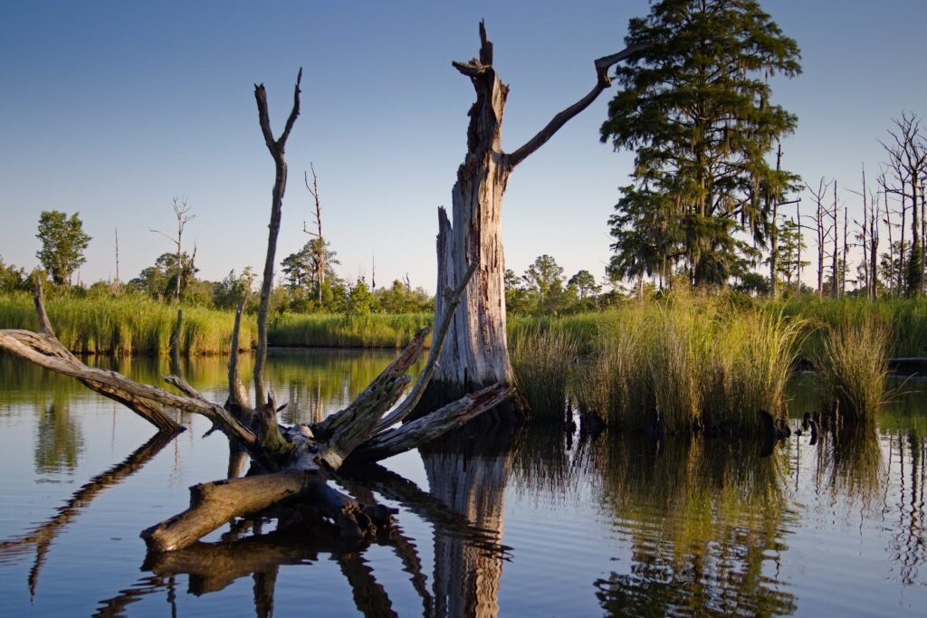
The Tar River begins as a freshwater stream in the Piedmont near Roxboro, flowing east to become the Pamlico River near Washington, then draining into the Pamlico Sound before meeting the Atlantic Ocean. Major tributaries in the upper basin include Swift, Fishing and Tranters creeks and Cokey Swamp, as well as the Pungo River in the lower basin. It also includes Lake Mattamuskeet, home to Mattamuskeet National Wildlife Refuge and, at more than 18 miles long and six miles wide, is the largest natural lake in the state.
The Tar-Pamlico River Basin is made up mostly of wetlands and forested areas covering about 55% of its area, with about one-quarter made up of agricultural land and a small portion of urban, developed areas. This basin is rural when compared to the Neuse, which is similar in size and hydrology.
A gateway to the coast, the Tar-Pamlico feeds into a highly productive estuary that is a nursery for more than 90% of all the commercial seafood and recreational fish caught in North Carolina. The Albemarle and Pamlico sounds comprise the second-largest estuary system in the United States.
Sadly, the Pamlico River has been plagued with environmental problems. Excessive growth of algae and increasing numbers of diseased and dying fish over the past two decades suggest a decline in water quality. Municipal treatment plants that discharge wastewater into rivers and streams and runoff from nonpoint sources, such as farmland, timber operations and urban areas, also contribute pollution. These sources increase levels of the nutrients in the watershed — primarily nitrogen and phosphorus – resulting in an unbalanced ecosystem.
Neuse River Basin
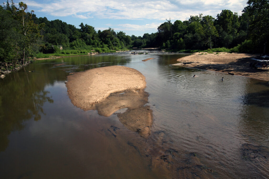
The longest river in North Carolina, the Neuse River stretches 248 miles from the Falls Lake Reservoir Dam in the Piedmont to its mouth at the Pamlico Sound and the state’s first capital of New Bern. At its mouth, six miles across, it’s the widest river in U.S. and part of our nation’s second-largest estuary. Major tributaries include Crabtree, Swift and Contentnea creeks and the Eno, Little and Trent rivers. The Neuse River Basin is a critically important body of water for nearly one-sixth of the state’s population.
Among the biggest threats to water quality in the lower Neuse River are large quantities of nutrient pollution, especially nitrogen and phosphorus.
Nutrient pollution is a form of water pollution, in which water is contaminated by excessive inputs of nutrients.
This type of pollution results from: runoff from large fertilized areas (such as golf courses), urban developed areas and farm fields treated with fertilizer, pesticides and herbicides; animal waste washed from lawns; and industrial meat production facilities discharging into our rivers and streams. Swine concentrated animal feeding operations (CAFOs), for example, contribute 60% of the excess nitrogen and phosphorus.
Some nutrients can be beneficial to aquatic life in small amounts, but large amounts can cause excessive plant growth, algal blooms and low levels of dissolved oxygen in the water.
To a lesser degree, water quality in the Neuse River Basin is being affected by pollution from more than 400 industrial and municipal sites that are allowed by state permit to discharge treated wastewater into streams and rivers. Both of the above situations can be harmful to fish and other aquatic life.
Latest News
Endangered Species Act rollbacks threaten Neuse, Tar-Pam
July 23rd 2026

Strategic input needed for Tar-Pam resiliency projects by July 27
July 23rd 2026

Tell Me About It Tuesdays reboot
July 23rd 2026

Rain leads to trash trap maintenance tour
July 23rd 2026

Program director looking at Campus Stormwater swap
July 23rd 2026
Recent rains mean full trash traps
July 16th 2026

Developer withdraws offer for data-center land purchase
July 9th 2026
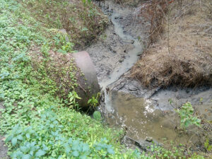
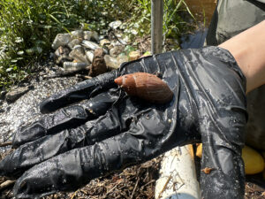
Specialist investigates Otter Creek sediment pollution tip
July 9th 2026