News
Swim Guide Sites Highlight: Cotton Patch Landing, Kinston Boating Access Area, Hwy 50 Boat Ramp
Posted on July 15th, 2020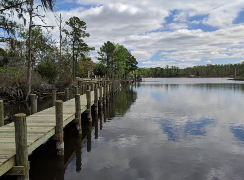
We’re spotlighting our Swim Guide sites this summer, so you can get more info on the places we sample, and maybe find a new place to explore! Visit soundrivers.org/swimguide to learn more, or text “SWIM” to 33222 to get weekly water quality alerts straight to your phone!
Cotton Patch Landing, Pamlico River
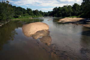
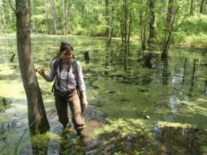
This week’s site spotlight in the Tar-Pamlico river basin is Cotton Patch Landing. This site is where we are able to collect a water sample from Blounts Creek. The location is a popular boat launch/access point and you are able to rent fishing supplies and kayaks right on site! There is also a camping ground and RV access nearby, so you can do it all at Cotton Patch Landing. So far this summer, this Blount’s Creek location has passed all 7 E. coli tests. With that said, check out Cotton Patch Landing sometime soon. It has a lot to offer! – Amelia
Kinston Boating Access Area, Lower Neuse River
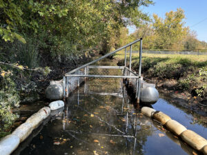
 Opened in 2014, the Kinston Boating Access Area includes a floating dock with two launch ramps. It is a 5-acre site with parking for 11 vehicles and 31 trailers. Anglers can access the Neuse to catch crappie, largemouth bass, sunfish, American shad, and striped bass. The construction of this Swim Guide site was a collaboration between the Wildlife Commission and the local community of Kinston. It is well maintained and welcoming. Follow this link to open a NCWRC interactive map and get more information with directions to this site! – Cait
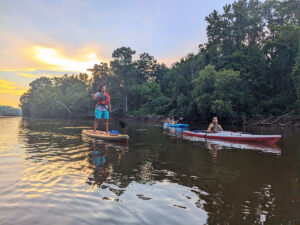
Highway 50 Boat Ramp, Falls Lake
 Highway 50 Boat Ramp is a popular spot for Falls Lake visitors! One volunteer, Delandra has been collecting samples there weekly and she shared her experience at this site. She said, “once you turn off Highway 50, there is a short drive through thick stands of loblolly pines before the trees open up to the water and the tree-lined shores off in the distance. The dock is ideal for loading kayaks and canoes. Even if you don’t possess a watercraft, the docks are a nice place to people-watch. There are families picnicking on their pontoon boats and kids playing in the grass.” – Nicole
Find location and sampling info for these sites and more via a map like the one below, at soundrivers.org/swimguide!

Related News
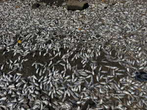
Neuse fish kill expected to extend beyond holiday weekend
July 3rd 2025
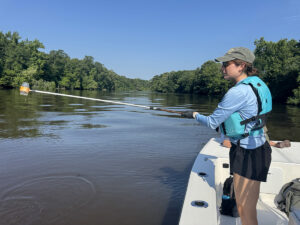
Swim Guide fails prompt Maple Cypress investigation
July 3rd 2025

Riverkeeper, town partners root out source of Smithfield sediment pollution
July 3rd 2025
Trash trap No. 12 approved for Smithfield
July 3rd 2025
Sunset River Paddle fundraiser boosts Water Quality Fund
July 3rd 2025
Riverkeepers host quarterly Water Watch meeting
July 3rd 2025
Public hearing will determine the fate of many NC wetlands
June 26th 2025
Clayton gets first official trash-trap cleanout
June 25th 2025