News
Hurricane Florence to Cause Significant Storm Surge, Flooding
Posted on September 13th, 2018
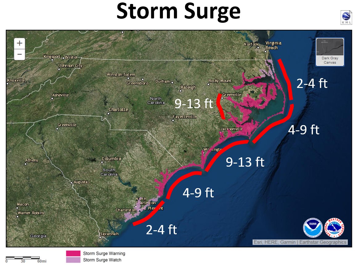
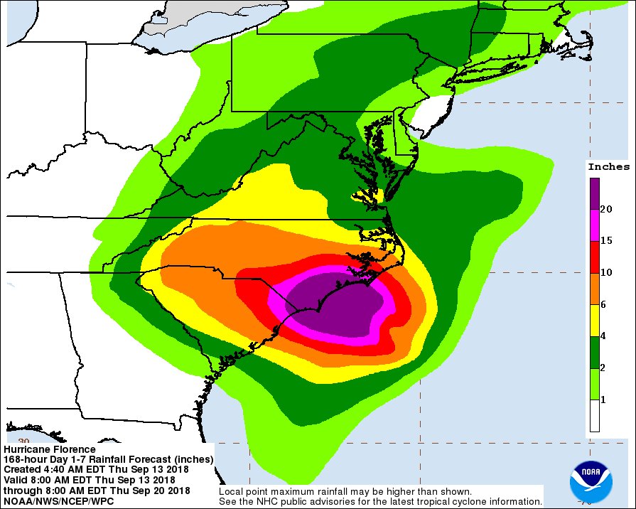
Even though the projected storm track has shifted south, expected storm surge for our region could be significant. As of Thursday morning, NOAA forecasts a storm surge of 9-13 feet along the Neuse and Pamlico Rivers. Rainfall amounts are now projected to be 6-8 inches north of the Pamlico River, 8-10 in southern Beaufort County to Snow hill. Further south, 10-15+ inches are forecast in Craven County to Kinston. Parts further south could receive over 2 feet of rain.
Current riverine forecasts suggest that both the Neuse and Tar-Pamlico Rivers will rise above flood stage next week. As of this morning, river levels at Washington and Greenville on the Tar-Pamlico and at Kinston on the Neuse River have risen since yesterday due to the northeast winds. Flooding from rainfall is expected to happen earlier, possibly within three days on the Neuse River. These projections will change depending on actual rainfall. Major flooding is extremely likely along the Cape Fear River.
Please visit Sound Rivers facebook page for updates as they come in.
From all of us at Sound Rivers, we are praying for your safety!
More Resources
- Stay up to date with NOAA’s National Hurricane website
- NC Dept of Public Safety Hurricane Florence Official information for road closures, important updates, shelter information, etc.
- Check current andforecast river levels
Related News

New Sound Rivers design perfect for Summer 2026
July 16th 2026
Recent rains mean full trash traps
July 16th 2026

Developer withdraws offer for data-center land purchase
July 9th 2026
Specialist investigates Otter Creek sediment pollution tip
July 9th 2026

20 pounds trapped, removed from Raleigh trash trap
July 9th 2026
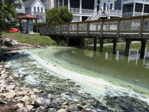
Hot weather, lack of rain spell algal blooms
July 9th 2026
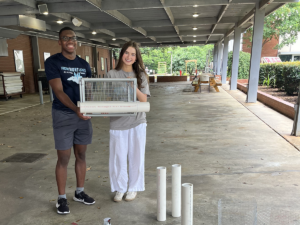
Interns build mini-trash traps for display
July 3rd 2026
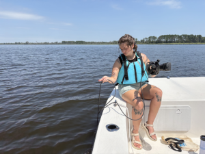
Sound Rivers crew head out to investigate algal bloom
July 3rd 2026