News
We're launching our 6th year of Swim Guide!
Neuse River Watershed, Swim Guide, Tar-Pamlico Watershed, Water Quality
Posted on May 25th, 2023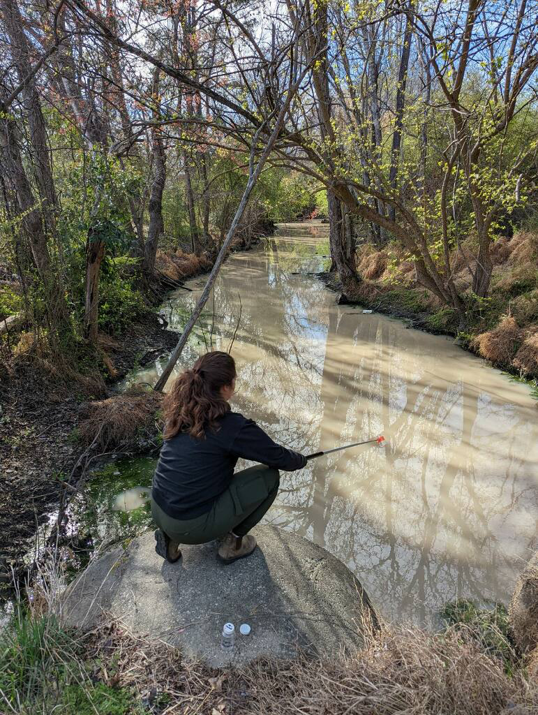
Swim Guide returns for a sixth year this Memorial Day weekend.
On Friday, Sound Rivers will launch the summer-long public service that lets people know where it’s safe to swim in local waterways, from the Piedmont to the Pamlico Sound.
“Swim Guide is one of our longest running and most successful annual programs. It’s successful because it easily provides public access to important public health information, water-quality data and engages the communities within our watersheds,” said Clay Barber, Sound Rivers’ program director.
This year, 54 popular recreational sites in the Neuse and Tar-Pamlico watersheds will be sampled weekly by a team of Sound Rivers volunteers. Samples are tested for the presence of E. coli in fresh water and enterococci in salt water, both of which can cause an increased risk of gastrointestinal illness and skin infections in both humans and their pets. Sites are given a pass/fail designation based on federal and state water-quality standards.
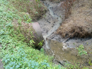
“The Tar-Pam and the Neuse rivers are clean and safe to recreate in under normal conditions, but anytime it rains, more pollutants make their way to our rivers and we can usually predict where the worst areas are going to be — and our Swim Guide testing confirms it,” Clay said. “It’s always a good idea to wait 24 hours after a hard rain before recreating in any waterway. We can safely say that downstream of heavily developed areas is usually going to be dirty after a rain.”
Twenty-three of the 54 Swim Guide sampling sites are located in the Tar-Pamlico river basin: five recreational sites at Lake Royale, near Louisburg; Tar River Reservoir and Sunset Park in Rocky Mount; the River Road boat access near Tarboro; Town Common, Wildwood Park and Port Terminal in Greenville; Yankee Hall at Pactolus; the downtown waterfront, Mason’s Landing and Havens Gardens boat ramp in Washington; Chocowinity Bay at Cypress Landing; Broad Creek at Pamlico Plantation; Blounts Bay and Blounts Creek at Cotton Patch Landing; Dinah’s Landing at Goose Creek State Park; Bonner Point and Plum Point on Bath Creek; and the Pungo River at Woodstock Point, near Belhaven.
Thirteen sites are located in the Upper Neuse: at the Hickory Hill boat ramp, Ledge Rock boat ramp, Beaver Dam Lake day-use area, Rolling View boat ramp, Highway 50 launch and recreation area, Upper Barton Creek boat ramp and Falls of the Neuse canoe launch; canoe launches at Buffaloe Road, Milburnie, Anderson Point and Poole Road in Raleigh; the River Walk in Clayton; and Town Commons Park in Smithfield.
Seventeen sites are located in the Lower Neuse River basin: Oak Bluff Road and Highway 11 boat ramp near Kinston; Maple Cypress boat ramp at Fort Barnwell; Cowpen Landing and Spring Garden boat ramps; Glenburnie Park, Town of Bridgeton Park, Black Beard Sailing Club on upper Broad Creek, Lawson Creek Park, River Bend kayak launch, Trent Woods and Brice’s Creek — all in or near New Bern; the East Street boat ramp in Pollocksville; Slocum Creek boat ramp in Havelock; Rice Creek off the Bay River; and the Midyette Street boat ramp and Sea Harbour Yacht Club at Pierce Creek in Oriental.
Results are released to the public on Friday afternoons throughout the summer at soundrivers.org/swimguide, through local media and via text. To sign up for text alerts, text “SWIM” to 33222 to have results delivered weekly. For results in Spanish, text “NADAR” to 33222.
Related News
Endangered Species Act rollbacks threaten Neuse, Tar-Pam
July 23rd 2026

Strategic input needed for Tar-Pam resiliency projects by July 27
July 23rd 2026

Tell Me About It Tuesdays reboot
July 23rd 2026

Rain leads to trash trap maintenance tour
July 23rd 2026

Program director looking at Campus Stormwater swap
July 23rd 2026

New Sound Rivers design perfect for Summer 2026
July 16th 2026
Recent rains mean full trash traps
July 16th 2026

Developer withdraws offer for data-center land purchase
July 9th 2026