News
Animal Map Improves Transparency - Public Right to Know
Posted on July 8th, 2016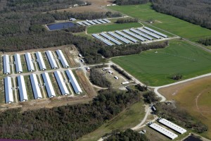
New Animal Waste Map Improves Transparency
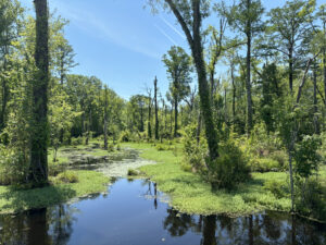
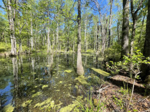
In a big win for transparency, NC Riverkeepers, Waterkeeper Alliance and the Environmental Working Group 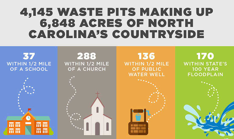 released a map in late June that for the first time allows the public to see where all industrial animal operations and waste pits are located. Animal agriculture operations are one of the leading sources of water and air pollution in the country and are making people sick.
Over two decades alone, North Carolina’s swine population nearly doubled from 5.1 million in 1992 to 9.5 million by 2012, according to the USDA Census of Agriculture. During the same period, the state’s broiler chicken production increased by 60 million, to 148 million animals.
The maps were created to fill in yawning gaps in the North Carolina state agricultural regulatory system and to enable citizens, lawmakers and policymakers to visualize and interpret the state’s swine, poultry and cattle operations by zooming in on selected areas.
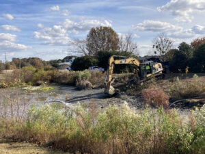
In 2015, the United States Geological Survey published a study showing that hog CAFOs have significant impacts on waterways, particularly in eastern North Carolina, where these facilities are concentrated within communities of color. However, the USGS study specifically noted that no information about poultry facilities was publicly available.
Related News
Riverkeeper weighs in on Raleigh tap-water woes
April 25th 2024
Small cleanup, with a big impact
April 25th 2024
New math moves parts of the Pamlico off impaired waters list
April 25th 2024
Durham turns down Lick Creek development
April 25th 2024
Scout earns volunteer hours with trash trap cleanout
April 25th 2024
Boat day a Blounts Creek exploration
April 25th 2024
Tell NC to restore wetlands protections!
April 19th 2024
Position available: Stormwater Education Coordinator
April 18th 2024