News
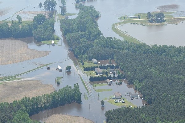
Aerial view of flooding near Smithfield, NC on 4/27/2017

by Travis Graves, Lower Neuse Riverkeeper
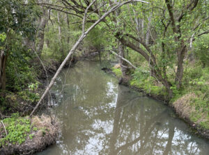
Last Thursday, the 27th of April, I conducted an aerial investigation of the impending flood waters in the middle and upper Neuse basin areas. We flew to Jones County, following the Trent River where I saw some minor flooding in low lying areas along the Trent, but no roads, buildings, or CAFO facilities were under water.
From Jones County I flew along the Neuse River to Smithfield. Traveling upriver from the Seven Springs area, flooding was visible and became worse the farther up river we traveled. I observed some minor flooding around the HF Lee coal ash storage sites, and then up to Smithfield, following the Neuse. Moderate flooding around the Smithfield area, a few buildings and roads were under water, but no flooded CAFOs were seen.
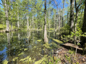
From Smithfield we flew to the headwaters of Contentnea Creek, where I observed more flooding the along the entire length of Contentnea Creek. Buildings, roads, and CAFO spray fields flooded and some flood waters approaching lagoons, but no signs of inundated or breached animal waste lagoons.
Related News
Tell NC to restore wetlands protections!
April 19th 2024
Position available: Stormwater Education Coordinator
April 18th 2024
Southern Nash next in line for stormwater projects
April 18th 2024
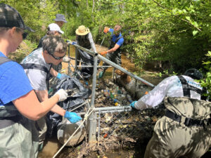
Xylem, Sound Rivers team up for cleanup
April 18th 2024

Sound Rivers launches new podcast
April 18th 2024

Swim Guide gearing up for a seventh season
April 11th 2024
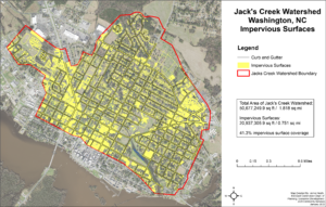
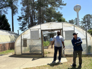
Feedback needed for Jack’s Creek plans, projects
April 11th 2024

Pamlico-Tar Riverkeeper talks water quality
April 11th 2024